The Travel Blog
Sep 25, 2019 at 4:00 AM in Just for Fun
Digital Maps vs Paper Maps
Map Geek loves to read. I love to read maps and books. A while back the buzz within the publishing world was that real books–the ones made out of paper–would soon be obsolete. That seemed plausible about five years ago as Ebook sales rose significantly month after month and regular book sales declined. The word within in the industry was that only picture books, coffee table-type publications and fancy cookbooks with mouthwatering photographs of food would continue to be printed. And then suddenly, the big trend stopped. No growth in Ebook sales followed a steady rise in traditional books and an eventual decline in Ebooks. The shine of the Kindles and E-readers had worn off for many. People realized that after spending a day staring at their computer screens, they didn’t want to relax at night with another device. No, they wanted to curl up in bed with a real book, one that they could hold in their hands and not tire their eyes or worry that one quick and inadvertent touch of the screen might send the Ebook reeling while the reader desperately tried to relocate his or her place in the tome.

The same process has arguably occurred for most users with digital and paper maps. What might have seemed super cool at first is no longer the be-all and end-all–unless you’re a technochauvinist, a term coined by Ted Florence, in his book, “Artificial Intelligence:How Computers Misunderstand the World.” As president of the international board of the International Map Industry, this guy knows his way around both digital and paper maps. And guess what? When he travels, he relies on both. He defines technochauvinism as an attitude that digital is better than print. Ah-ha! Who doesn’t know a few technochauvinists?

For me, Map Geek, it’s smart to embrace both seventeenth century methods as well as the latests and greatest that our modern world has to offer. (The Age of Discovery or Age of Exploration actually took place from the early fifteenth century through the early seventeenth century. It was a time when European ships traveled around the world to search for new trading routes and partners. Goods such as gold, silver and spices were their treasures.) Yes, indeed, Map Geek likes both the plume and the touchscreen.
“There’s no arguing that Google Map is best for directions when driving some distance but when discovering what a new destination has to offer, printed maps can’t be beat,” says Peter Hans, the president of Discovery Map International. Google Maps have been recorded to be accurate almost 90% of the time. But like with GPS, there’s always that 10% margin of error that might send a big surprise your way such as when someone is sent over a mountain pass that’s actually a rugged 4-wheel-drive-only road. Oops! Worst of all, when people look at these kinds of digital maps, they tend to believe they’re 100% accurate. Not a good idea.
"Paper maps can give you not only the ‘bigger picture’ of where you are in relation to the community you are in, as in the case of a Discovery Map, but they also give the user the flavor and character of that community or destination," says Discovery Map’s ultra-efficient admin-extraordinaire, Susan Klein. So true!
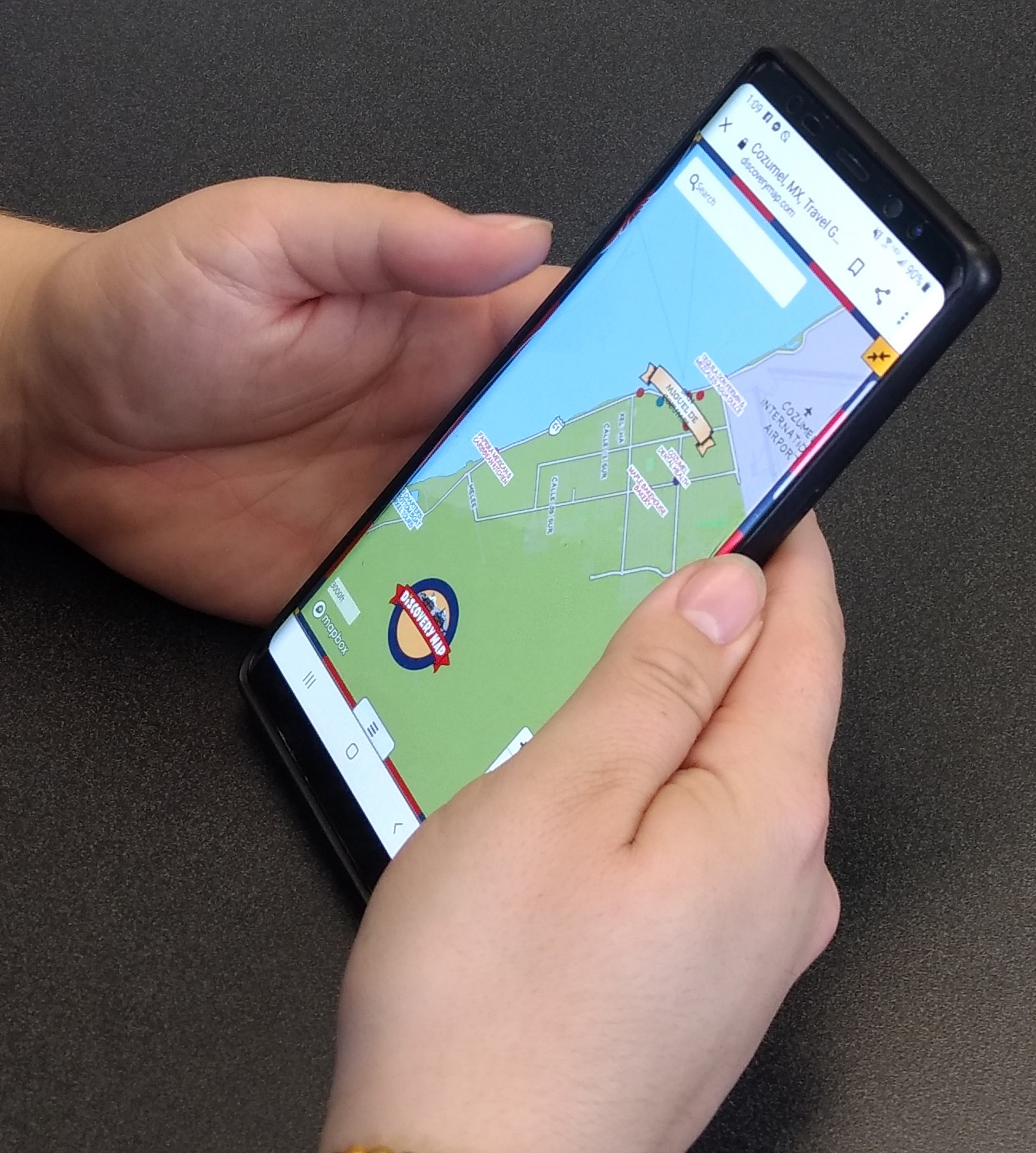
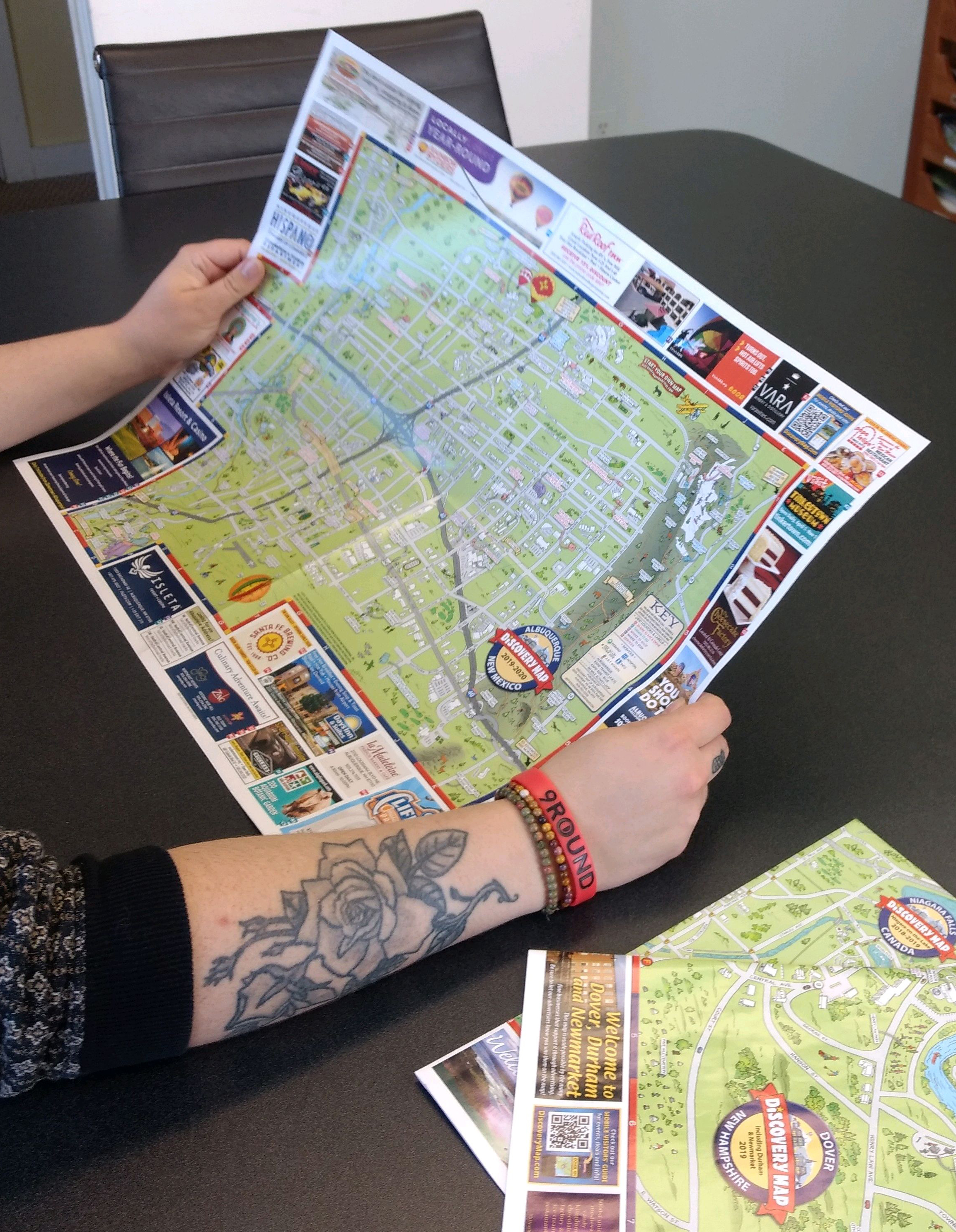
Just think of how you approach a paper map. First you unfold it, then your eyes scan most of the surface area, then perhaps you zero in on some places of interest, then you might look at the key–you get the idea. It’s a whole process. And the fact that there’s a very tactile part of it, actually helps your brain to absorb the information more deeply. C’mon, think of how you experience digital vs. paper maps. It’s kind of like comparing a fast-food meal to a fine dining experience. OK, I know I might be biased. But here at Discovery Map, we have both. So the point is that both digital and paper serve a purpose.

How many times have you traced a street or area on a map with your finger? You do that with a paper map, right? I bet you’ve never done that with a digital map. Studies have proven that the mere fact that you engage physically with a map–or something else for that matter–helps your brain to better retain information that you have collected. Makes sense to me!
Not sure why teachers in school insisted that I not use my finger to read when I was a kid. But maybe methods have changed. After all, new ways are not always better.
Did you know that most government agencies and private businesses within the United States–and most likely abroad–still keep a rich supply of paper maps on hand? First responders need to have atlases in their vehicles and dispatch centers in case their digital maps fail. And what if there was a cyber attack? Dang, that could present enormous problems for all, especially the technochauvinists of the country. No wonder the U.S. Navy is once again training recruits in celestial navigation, a technique that goes back to ancient Greece.
Moral of the story: It’s a good idea to embrace both digital and paper maps, not only out of necessity but also in order to enhance your map-reading experience and to increase your understanding.
Archives
- June 2024
- April 2024
- March 2024
- February 2024
- January 2024
- November 2023
- October 2023
- August 2023
- March 2023
- January 2023
- September 2022
- August 2022
- July 2022
- June 2022
- February 2022
- January 2022
- October 2021
- March 2021
- February 2021
- January 2021
- December 2020
- November 2020
- October 2020
- September 2020
- August 2020
- July 2020
- June 2020
- April 2020
- March 2020
- February 2020
- January 2020
- December 2019
- November 2019
- September 2019
- July 2019
- May 2019
- February 2019
- December 2018
- November 2018
- October 2018
- July 2018
- April 2018
- October 2017
- September 2017
- July 2017
- May 2017
- April 2017